A public-private push into next-gen earth observation
Pixxel, the hyperspectral imaging startup backed by Google, will lead a consortium selected by India’s IN-SPACe to build and operate a new earth-observation satellite constellation. The project is slated to channel ₹12 billion (~$144M) over five years, marking one of India’s most ambitious public-private efforts to expand geospatial capabilities for climate, agriculture, urban planning, and disaster response. Reuters first reported the selection and budget guidance on Aug. 12.
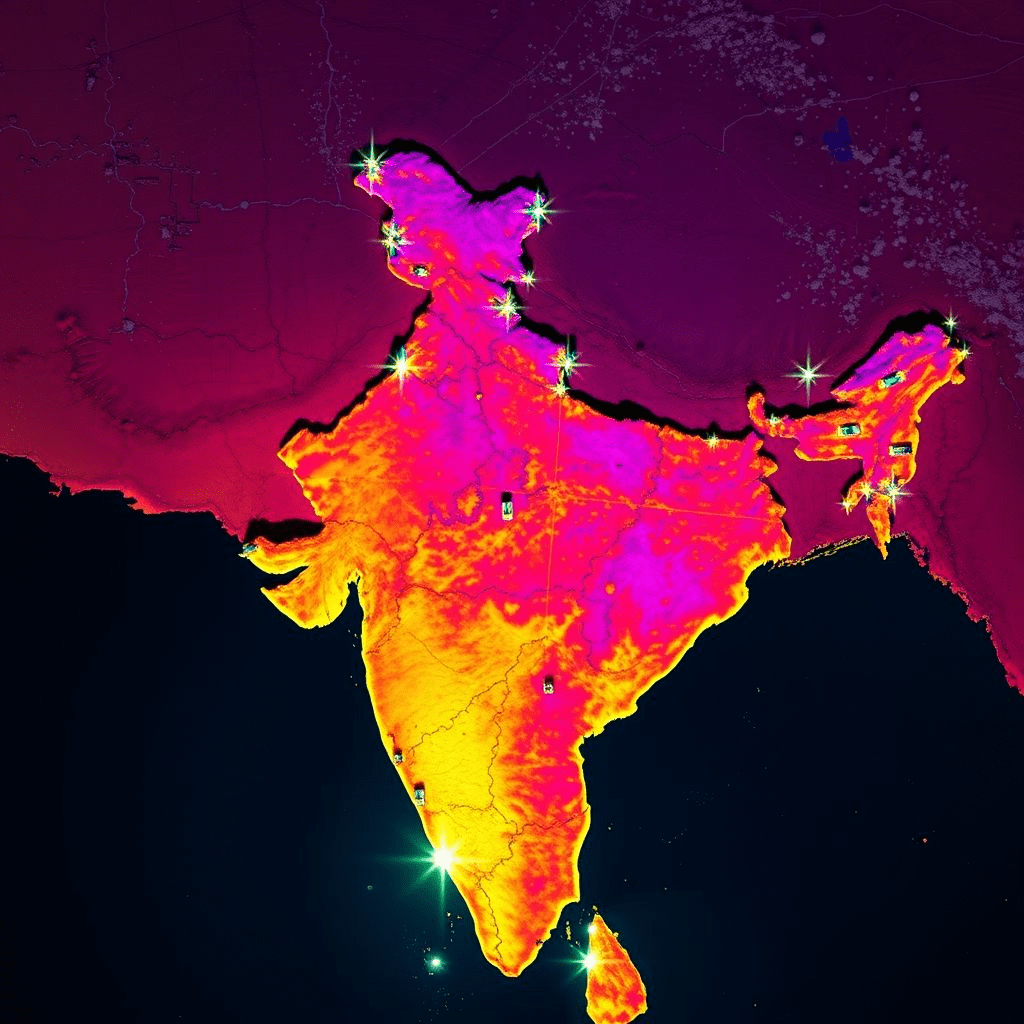
The Pixxel satellite constellation aims to deliver higher-cadence, higher-resolution data than legacy systems, using hyperspectral sensors that capture hundreds of spectral bands. Such data can detect crop stress, monitor water quality, and identify mineral signatures—capabilities increasingly sought by public agencies and private industry alike.
Why this consortium matters
India’s space policy has shifted decisively toward commercial partnerships, with IN-SPACe acting as a facilitator between ISRO (the national space agency) and private companies. By choosing a Pixxel-led team, regulators signal confidence that a venture-backed startup can handle end-to-end tasks: spacecraft manufacturing, payload integration, launch scheduling, ground operations, and data platforms tailored for domestic needs. Reuters’ coverage underscores the government’s view that private capacity is essential to meet demand from agriculture, infrastructure, telecom, and climate initiatives.
The business case: from pixels to platforms
Selling raw imagery is only the first rung of the ladder. The real leverage is analytics: converting hyperspectral data into crop yield estimates, early flood detection, or methane leak maps. Pixxel’s product roadmap has emphasized cloud-based APIs and dashboards that slot into enterprise workflows, making the Pixxel satellite constellation not just a hardware endeavor but a software platform opportunity.
Government consumption will anchor demand, yet India’s private sector—agribusiness, insurance, mining, and logistics—has a growing appetite for decision-grade earth data. Hyperspectral imaging, with its ability to detect chemical and material signatures, has been particularly promising for precision agriculture and environmental compliance.
Policy and device context: India’s tech stack is in flux
The constellation announcement arrives as India tightens local-tech requirements. Reuters noted that smartphone brands are being nudged to increasingly adopt Indian navigation (NavIC) and other domestically developed standards. Space infrastructure that furnishes homegrown data streams reinforces this strategy, reducing reliance on foreign imagery and strengthening data sovereignty. In the same report, officials cited the need to grow domestic capabilities to meet internal demand across sectors, which the Pixxel satellite constellation is designed to address.
Challenges: capital intensity and cadence
Satellites are capital-heavy and time-bound. To stay competitive, Pixxel and partners must maintain rapid launch cadence and sensor improvements while managing risk across supply chains. India’s maturing launch ecosystem—PSLV, SSLV, and emerging private launchers—could help keep costs predictable. But hyperspectral payloads demand stringent calibration and robust ground processing pipelines; even minor drift can affect analytics quality.
Funding is also a factor. While the ₹12B framework provides a backbone, the consortium may still tap private capital markets to accelerate deployment, especially if customer demand outpaces the planned build. A successful early tranche of satellites will be crucial to validate the business case.
Global context: earth data meets AI
Hyperspectral datasets are catnip for AI models, which can surface subtle correlations in agricultural health, urban heat islands, or coastal erosion. India’s AI ecosystem—bolstered by startups and public initiatives—is rapidly adopting geospatial inputs for everything from credit scoring for farmers to climate risk underwriting. If Pixxel packages data with machine-learning-ready formats and pre-trained models, it could move up the value stack, capturing subscription revenue far beyond raw imagery sales.
Outlook: a homegrown constellation with export potential
With the Pixxel satellite constellation under IN-SPACe’s umbrella, India is signaling that next-gen earth data is strategic infrastructure. Success could position Pixxel as a regional data hub, exporting analytics across Southeast Asia, the Middle East, and Africa. For India’s startup ecosystem, it’s also a template: use public-private alignment to tackle capital-intensive, high-impact markets. The next milestones will include contract details, launch schedules, and early customer programs—each a litmus test for how quickly the constellation can deliver actionable insights.